On June 8, Ally and I closed the door on the North Carolina chapter of our lives and embarked on a spectacular cross country adventure. North Carolina was good to us and we will miss it and the friends we made there. Thankfully, a couple of those friends talk of moving to the West Coast, so we may be seeing a lot of them again soon!
I will be writing several blog posts about our adventures. Mostly, our national park adventures in Utah and California. However, I thought it would be fun to first re-cap the entire road trip with only my instagram pictures taken with my iPhone 5c. Other future posts (about hiking and other fun things in Arches, Canyonlands, Capitol Reef, Bryce, and Yosemite National Parks) will include pictures taken with my Canon 70D, so stay tuned for much more!
We started in Durham, NC and finished up in the San Francisco Bay Area. The map below was our original itinerary, which we stuck to for the most part. We only detoured once outside of Louisville, KY because of an accident on the freeway, and once to the west of Denver based on a recommendation from a friend we stayed with. Both detours were worth the little bit of extra time, so I will highlight them below.

Day 1: Durham, NC to Evansville, IN
Durham to Evansville was about 650 miles. It was a really long day in the car. We tackled 5 states this day: North Carolina, Virginia, West Virginia, Kentucky, and Indiana. We stopped for lunch in Charleston, WV at Pies and Pints (delicious pizza recommended by a West Virginia native that Ally went to school with) and stopped in Louisville, KY only briefly at a Whole Foods for a quick dinner.

We had some crazy fog through the first part of Virginia in the Blue Ridge Mountains. Really cool but a little scary in the car. Thankfully, there weren't a ton of people on the road.

Pies and Pints building in Charleston, WV

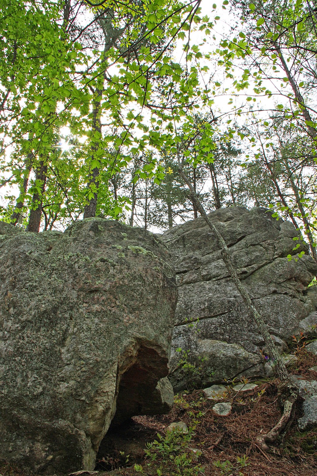
Random beautiful, old building in Charleston, WV
Somewhere near Shelbyville, KY we got off interstate 64 and drove 30 miles or so on highway 60. It was late afternoon/early evening so the sun was casting a beautiful light on the land. On both sides of the road was a ton of land surrounding huge houses, with barns and horses and the green, green grass.

From the passenger seat, on Highway 60 to the east of Louisville, KY
Evansville, IN was nothing more than a hotel room for us. We stayed in an average hotel right off the freeway. We just needed a bed and a shower and we were off again the next morning.
Day 2: Evansville, IN to Topeka, KS
It is not shocking that most of the drive on this day was pretty boring. However, we broke things up by spending a few hours in St. Louis. I really enjoyed checking out the old buildings and I found that the downtown area was really nice and clean and pleasant to walk around. We went to Rooster (highly recommended!) for delicious crepes before taking a walk to the Gateway Arch (past the capitol building...also worth checking out).
It is not shocking that most of the drive on this day was pretty boring. However, we broke things up by spending a few hours in St. Louis. I really enjoyed checking out the old buildings and I found that the downtown area was really nice and clean and pleasant to walk around. We went to Rooster (highly recommended!) for delicious crepes before taking a walk to the Gateway Arch (past the capitol building...also worth checking out).

Illinois

Gateway Arch

St. Louis
Shortly after we left St. Louis, we got stuck in a downpour that just didn't let up. We had been aiming to make it to somewhere half way through Kansas, but by the time we got to Topeka we were sick of driving in the rain. It just felt unsafe and it didn't make sense to keep pushing it. We found a really nice Hyatt Place in Topeka. I was pleasantly surprised when I walked in and it felt like a boutique hotel, complete with a little bar (alcohol and espresso). I was happy to have a nice place to stay, given that we were there around 5pm and would be spending several hours hanging out in the room. I was also grateful for the nice bed and good night sleep I got, given the not-so-great sleep I'd gotten the night before.
Day 3: Topeka, KS to Denver, CO
Our original plan had been to camp somewhere around Vail in White River National Forest this evening. However, since we didn't get as far as we wanted to on Day 2, we called some friends in Denver and decided to stop there and stay with them instead. Kansas was painful enough to drive through and we were definitely ready to stop in Denver! But it wasn't our longest day and we got to Denver around 4pm. We also stocked up at the local Whole Foods for camping/hiking food in Utah (our next destination).

Kansas
Day 4: Denver, CO to Moab, UT
Our friend recommended that, instead of taking 70 from Denver to Vail and beyond, we check out Golden, CO and then take highway 6 through a beautiful canyon before meeting back up with 70 prior to Idaho Springs. This may have added a few minutes onto the trip, but it was definitely worth it.

From the passenger seat, on Highway 6

From the passenger seat on Interstate 70
We stopped in Vail for probably 45 minutes, just to stretch our legs and get a look at the famous ski resort area. We checked out some overpriced Patagonia gear before continuing on our way on Interstate 70 through the rest of Colorado and on to Utah.

From the passenger seat....I believe these are Book Cliffs (might be Mt. Garfield) east of Grand Junction, Colorado

Crazy sky in Utah
This section of Colorado and Utah was a little rough to drive through. You could see crazy mountains and rock formations way off in the distance, but it was pretty desert-like and flat by the road with very few places to stop. I was very happy to be out of the car by the time we got to Moab, especially given that we planned to stay in Moab for 3 nights.

From the passenger seat, heading into Moab
Days 5 and 6: Arches and Canyonlands National Park
We made reservations to camp at Up The Creek campground in Moab, because we were worried we wouldn't be able to find camping and wanted to be somewhere we could easily access both parks. There were definitely pros and cons to staying here. It was nice to be able to walk into town (it's right in town) for ice cream, groceries, or dinner. There are several options for a good meal (Moab Brewery, Twisted Sista was AMAZING, or Jailhouse Cafe for breakfast). The campground has great facilities, with showers, ice, water, etc. However, I never felt like I was camping there. It just never felt that relaxing. I was happy for showers after the long, dirty, hot hikes in the parks though!
On Day 5, we did Devils Garden Primitive Loop in Arches. On Day 6, we got up to watch the sunrise at Mesa Arch in Canyonlands, then hiked Neck Spring Trail, and then basically checked out the rest of the park by car. Loved Canyonlands!

Sunrise at Canyonlands
Day 7: Moab, UT to Escalante, UT
Before leaving for Escalante (about an hour east of Bryce Canyon), we got up pretty early to hike Delicate Arch before too many people were there. Unfortunately, there were still a lot of people. I had to be really patient to wait for a line of people to pose with the arch, before I could take a few pictures with no one in them.

Delicate Arch
The next part of our adventure was one of my favorites of the whole trip, and it almost didn't happen! Our plan had been to head straight to Bryce from Moab. However, it was Saturday and we knew we wouldn't be getting there early enough to snag a first-come/first-serve campsite. I had called around to a few hotels and bed and breakfasts and nothing was available. So I broadened my search, and found what looked like an awesome airstream resort in Escalante. We booked that for Saturday night and that changed our route to include Capitol Reef National Park and scenic byway Highway 12. I am so glad we did this drive!
Capitol Reef seems like maybe the ignored sister of some of the more famous Utah National Parks. It shouldn't be ignored! It was beautiful. We went on a short hike to Hickman's Bridge and saw very few people (unlike Arches) and Highway 12 goes right through the park so it's an easy stop.
Highway 12 also goes in and out of Dixie National Forest and it's beautiful with big vistas and beautiful trees. A very pleasant surprise to see a bunch of green after several days in the desert.

Capitol Reef National Park (from the passenger seat)
We stayed at Shooting Star Airstream Resort in Escalante. They have several airstreams and it recently changed ownership and was closed for awhile, so they are really trying to increase their visibility. I actually liked that people don't know about it, because it meant we basically had the property to ourselves. We set up shop at Sugar's Shack (decorated like Marilyn Monroe's trailer for "Some Like It Hot") and made dinner out on our deck. Then we watched the sunset over the mountains while playing guitar and singing.

There is so much to do in Bryce! We camped at Sunset Campground, which was busy but had tent only loops so it felt quiet and finally like real camping. We hiked the Figure 8 Combination Loop (Queens Garden, Peek-A-Boo, and Navajo Loop combination) on Day 8 and then Fairyland Loop on Day 9. I definitely recommend both hikes and it is worth getting out past the crowds. The hoodoos are a lot more breathtaking when you don't feel like you are going to get pushed off a cliff by an idiot who is hiking in white tennis shoes.

Figure 8 Combination Loop
Day 10: Bryce Canyon to Mammoth Lakes, CA
It made leaving Bryce a bit easier that we were heading home to California. I really enjoyed Bryce and hope to get back there very soon. Because we wanted to do Yosemite on our first full day back in California, we had to take a bunch of secondary roads through Nevada. Wow. It is desolate. Thankfully, we were driving a dependable car but still I was worried if we broke down or got a flat tire. There are literally no towns for like 250 miles and no cell service that whole time either. I'd be seeing aliens too if I lived out here! We definitely saw a few mirages and many Joshua trees (which I love!)

That's right...ET Highway

Getting close to home!

Entertaining myself in the passenger seat.
Day 11: Mammoth Lakes to Home
Ally was excited to see that her favorite bakery in the world (the original is in Bishop) now has a shop in Mammoth Lakes. It was my first time at Schat's and now I see why it is her favorite. Dang! As long as you eat gluten, you will be able to find something heavenly there. We brought a loaf of the asiago bread home and it is incredible.

Then we made our way to Tioga Pass and stopped for a hike along the John Muir Trail. We had been doing a lot of hiking and wanted something with views but didn't really want something super hard. Lyell Canyon is an out and back on the JMT on which you can go out as far as you want. We ended up hiking about 12-14 miles, but the view below can be seen within the first two miles.

Lyell Canyon

Olmstead Point was a great lookout point to stop at along Tioga Road (and see Half Dome from the east).

Granite and ponderosa pines from the passenger seat
We were feeling pretty loopy by the end of our drive. We hadn't thought out food very well for this day, and were getting really hungry after the long hike. We had to stop in Manteca for a quick bite to eat before finishing up the drive and heading over the Altamont Pass (past Livermore). A perfect way to end our journey: watching the sunset over the windmills on the golden hills of the Altamont Pass as we drove our last 20 minutes home. So good to be back in the Bay!